The United States is a vast and diverse nation, spanning nearly 3.8 million square miles and encompassing 50 unique states. From bustling coastlines to towering mountain ranges, the American landscape is incredibly varied. When considering this immense geography, a common question arises: What Is The Biggest State In The United States?
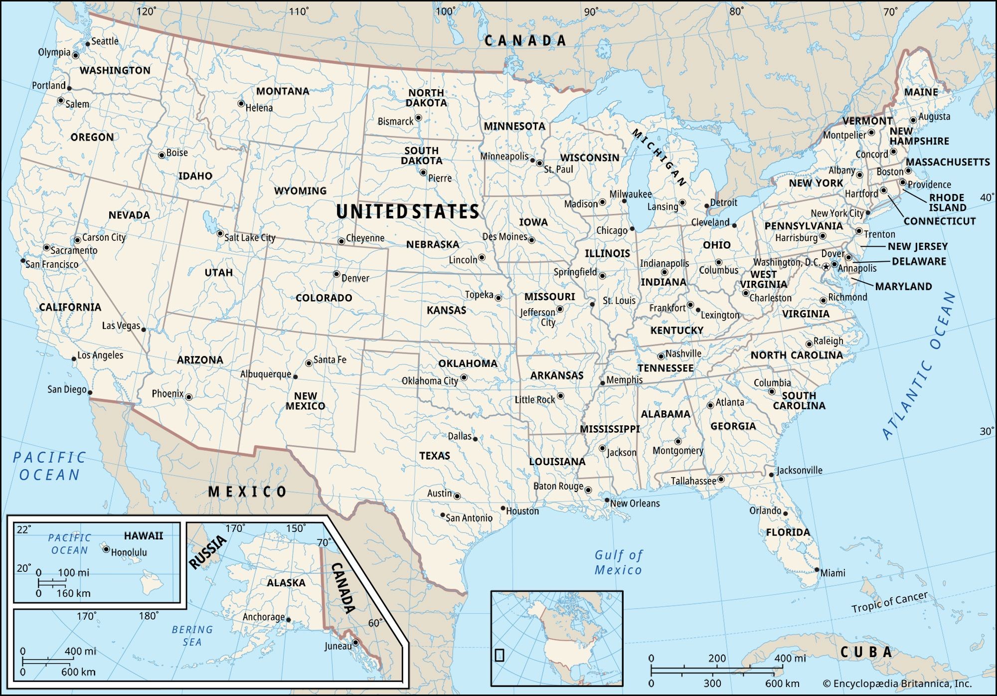 A detailed map of the USA showing state borders and capitals, emphasizing the size and location of each state within the country.
The answer, unequivocally, is Alaska. This northernmost state dwarfs all others in terms of land area. Covering a staggering 665,384 square miles (1,723,337 square kilometers), Alaska is more than twice the size of Texas, which comes in as the second-largest state. To put it in perspective, Alaska is larger than the combined areas of the 22 smallest U.S. states. It’s also approximately 429 times larger than Rhode Island, the smallest state in the nation, highlighting the incredible disparity in size among the states.
This immense size contributes significantly to the United States being the fourth-largest country in the world by land area. While the contiguous United States presents a substantial landmass, the inclusion of Alaska truly elevates the nation’s geographical scale.
To further illustrate the size differences, consider these top ten largest U.S. states by area:
| Rank | State | Total Square Miles | Total Square Kilometers |
|---|---|---|---|
| 1 | Alaska | 665,384 | 1,723,337 |
| 2 | Texas | 268,596 | 695,662 |
| 3 | California | 163,695 | 423,967 |
| 4 | Montana | 147,040 | 380,831 |
| 5 | New Mexico | 121,590 | 314,917 |
| 6 | Arizona | 113,990 | 295,234 |
| 7 | Nevada | 110,572 | 286,380 |
| 8 | Colorado | 104,094 | 269,601 |
| 9 | Oregon | 98,379 | 254,799 |
| 10 | Wyoming | 97,813 | 253,335 |
As the table demonstrates, there is a significant drop in size after Alaska, emphasizing its dominant position as the largest state. Exploring the area of U.S. states reveals fascinating aspects of American geography and the sheer scale of the nation’s territory. Whether you are a student, traveler, or simply curious, understanding the size of Alaska provides a valuable perspective on the vastness of the United States.